Mapping the Land - Spring 2002
|
|
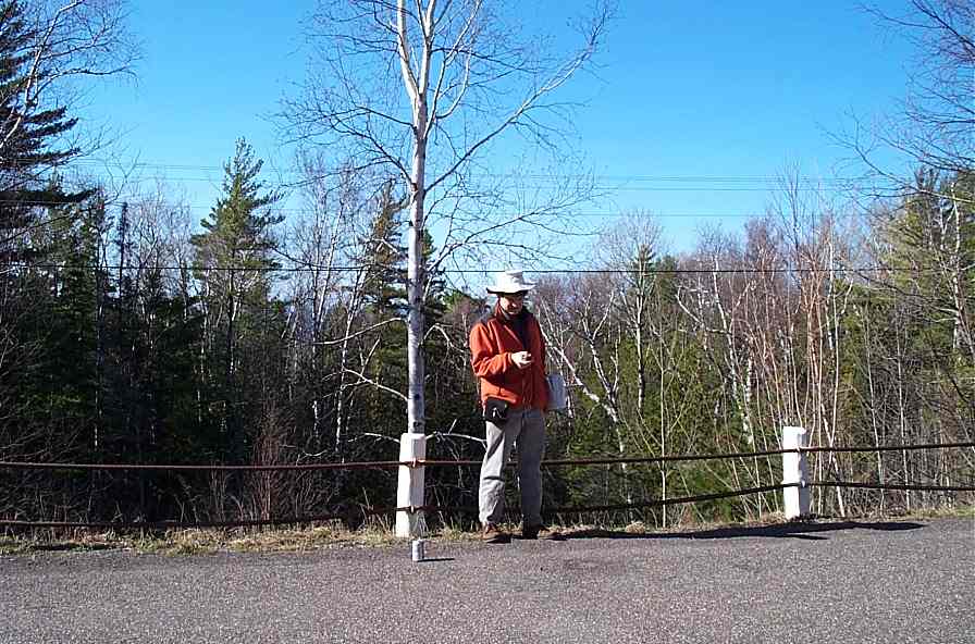
Guy is betrayed by his compass -- and the GPSs weren't very useful either. |
|
|
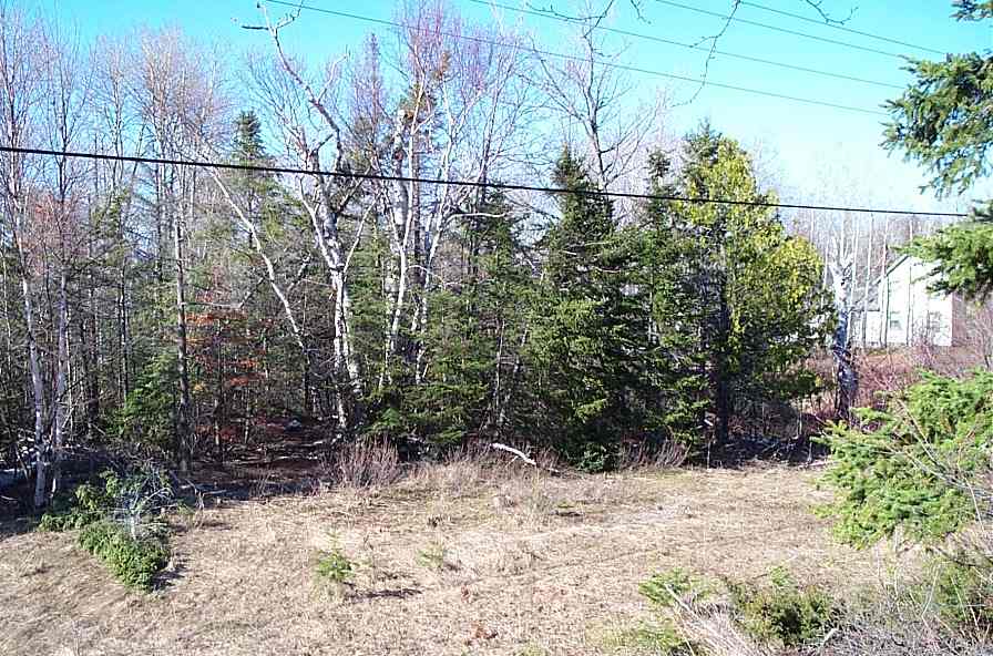
The Southeast corner of the property. Notice the librarian's house. |
|
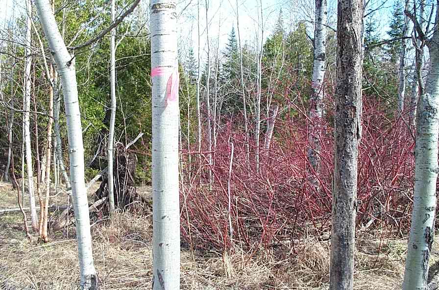
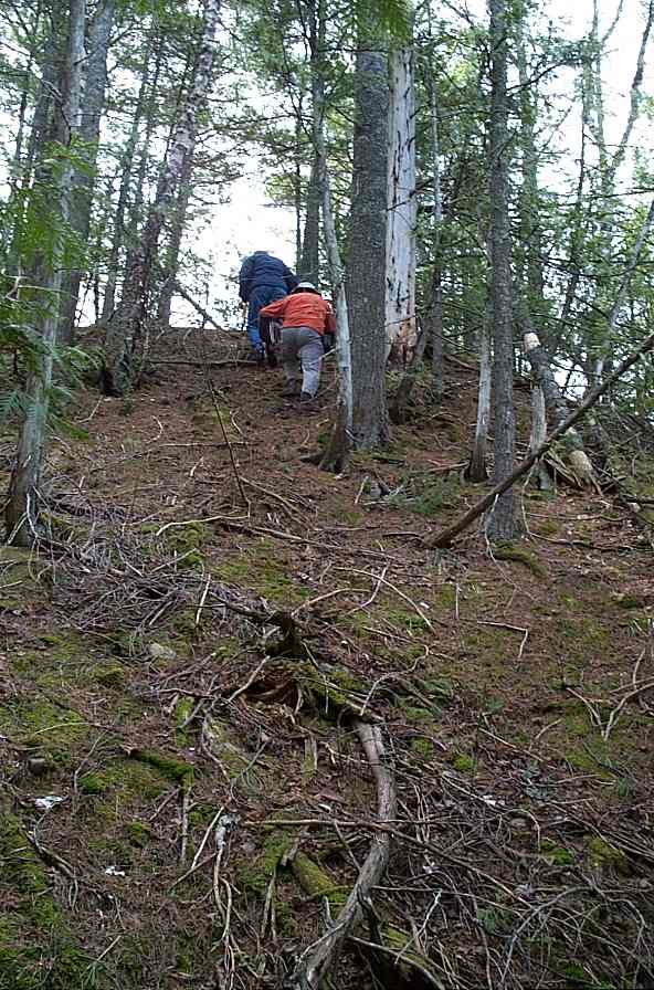
Into the thickets. At this point the ground is swamplike. |
|
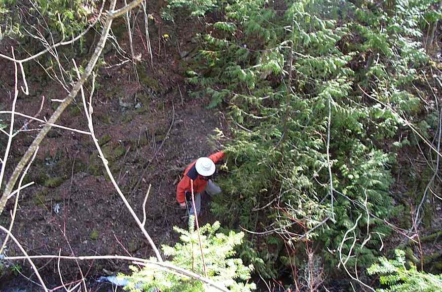
Guy crosses over to the road climbing a moss-covered wall at least 50' high. |
|
|
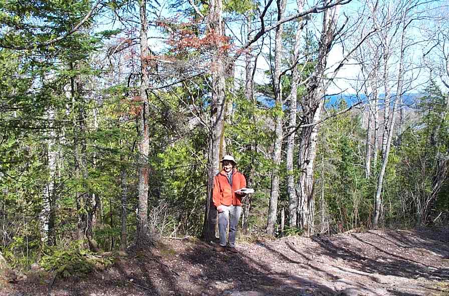
And on the other side what do we find but the surveyor's spike marking the Northeast corner. |
|
|
After mapping our way to Owl Creek we are out of time and head for the airport. |