Down Owl Creek Spring 2002
|
|
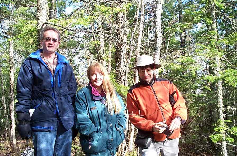
The adventurers set out. It was decided to follow Owl Creek to the Sands before the mapping project; - this took a little longer than planned... |
|
|
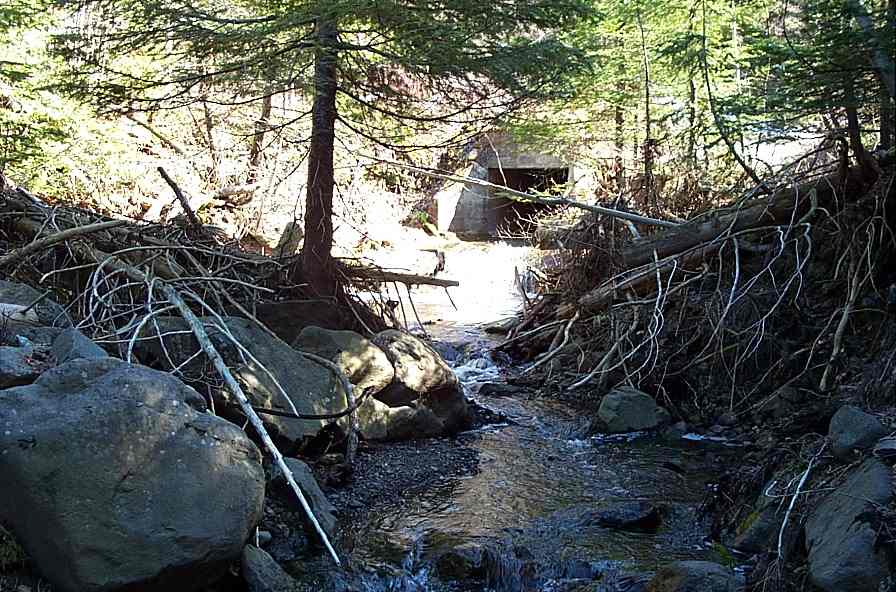
Owl Creek as it exits from under the road. |
|
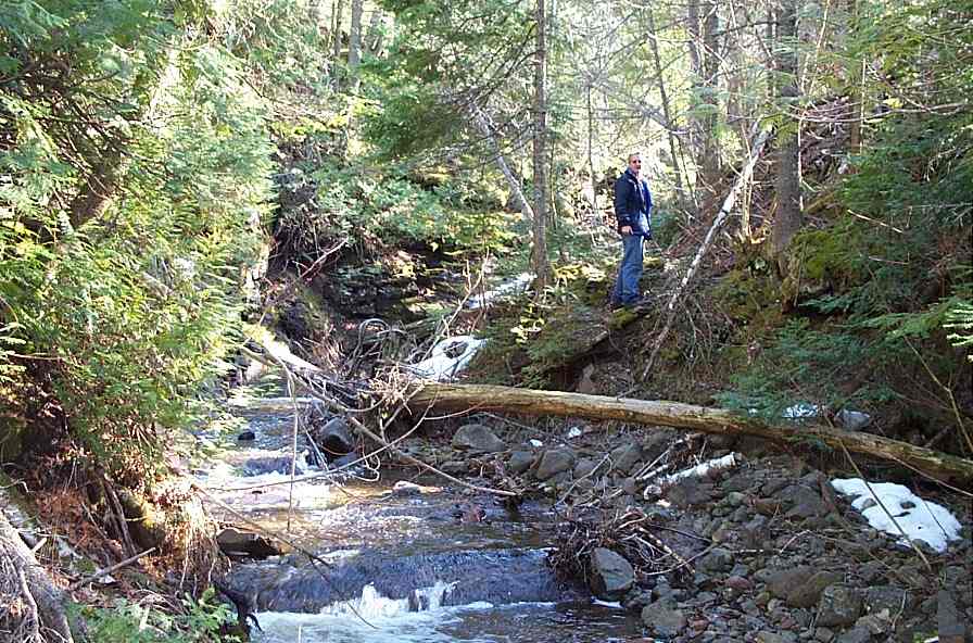
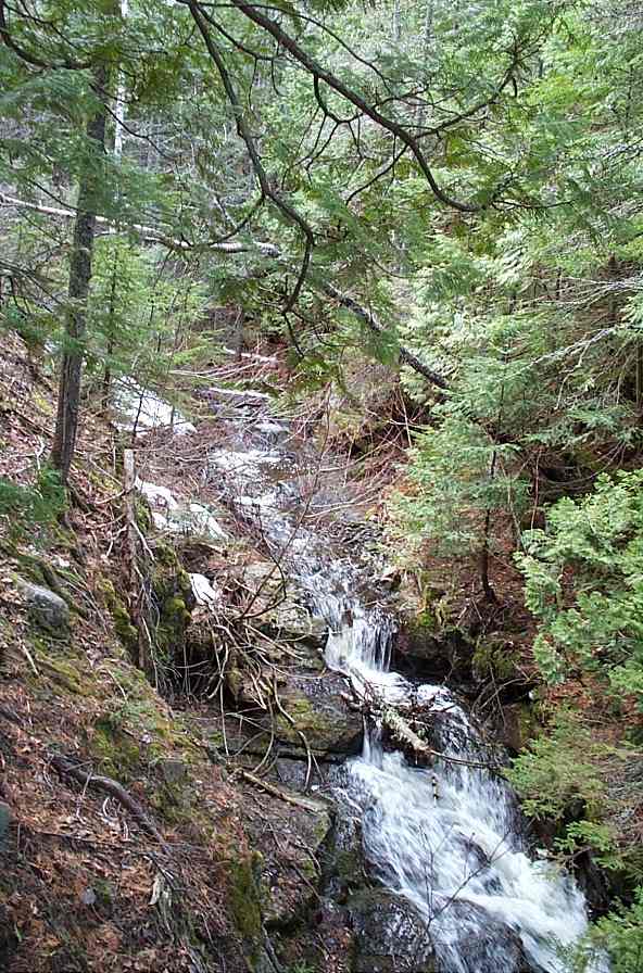
A section typical of the stretch between the road and the dam. There were LOTS of trees in the stream here. |
|
|
The dam viewed from above... |
|
|
...and from downstream. There is little water behind the dam since rocks have filled up the space behind the logs. |
|
|
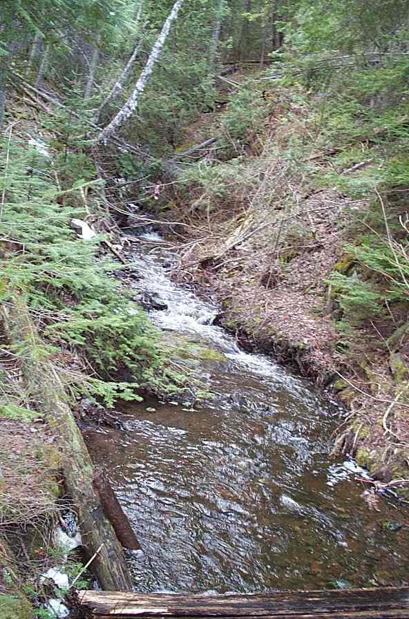
After the dam the stream widens. This shot is from where the logging road crosses the stream. We now enter Guyland. |
|
|
Then the creek narrows. |
|
|
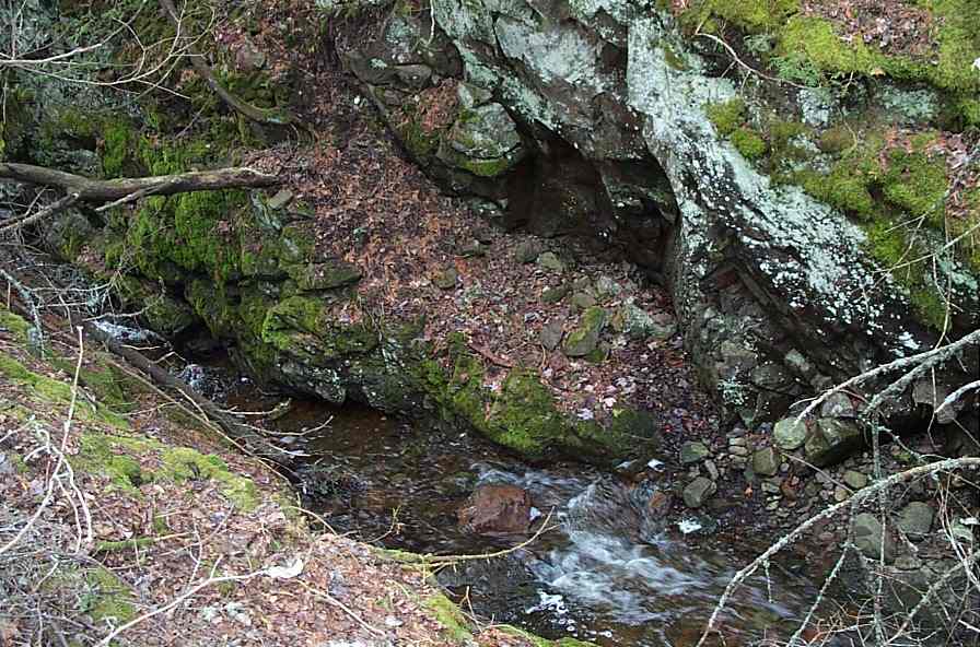
REAL narrow. |
|
|
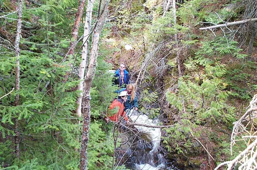
The going gets tougher but most of the party still follow the stream bed. |
|
|
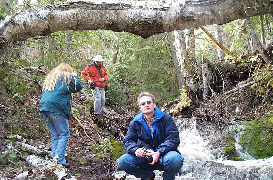
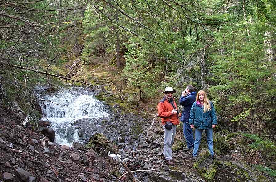
Everyone takes pictures: many pictures. |
|
|
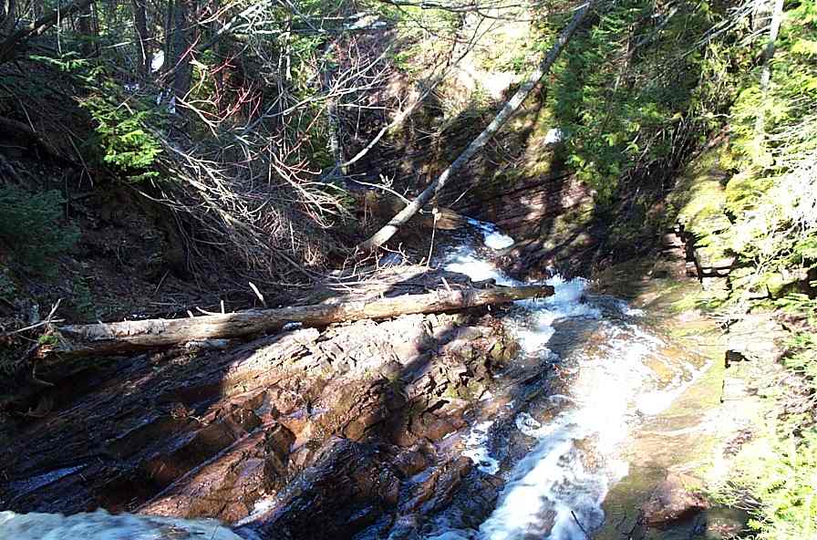
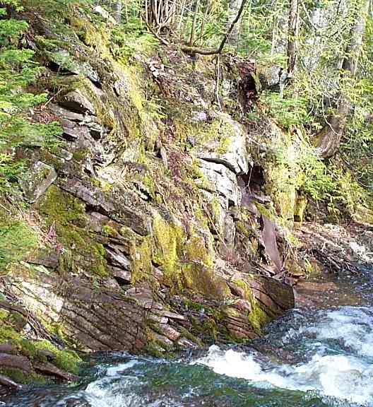
The Creek becomes very interesting. Notice the tilted strata of sandstone. |
|
|
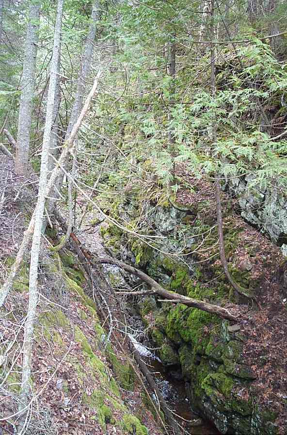
In addition to the fallen trees and high water, the slippery moss made the going tough. |
|
|
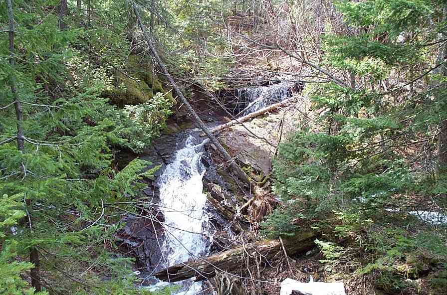
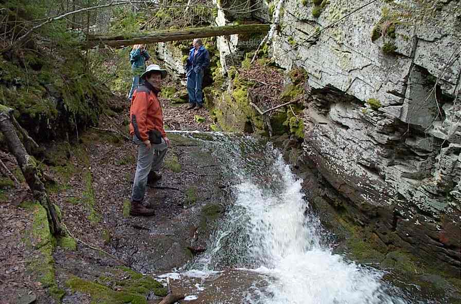
At some spots the creekbed widened and there were impressive waterfalls. |
|
|
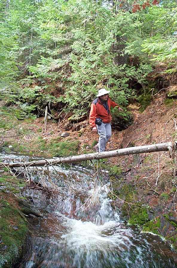
There were many places where fallen logs made tempting bridges... |
|
|
Other places would have made great water park rides - if you didn't mind the cold water and sharp branches. Some party members almost took the ride anyway. |
|
|
Almost like the Grand Canyon, only smaller, and with moss and trees. Maybe if we kneel down and squint at it... |